File:Flag-map of Somaliland.svg
Jump to navigation
Jump to search

Size of this PNG preview of this SVG file: 800 × 446 pixels. Other resolutions: 320 × 178 pixels | 640 × 357 pixels | 1,024 × 571 pixels | 1,280 × 714 pixels | 2,560 × 1,427 pixels | 1,078 × 601 pixels.
Original file (SVG file, nominally 1,078 × 601 pixels, file size: 60 KB)
Captions
Captions
Galowyare transportation llc
Galowyare
Summary
[edit]
| Description |
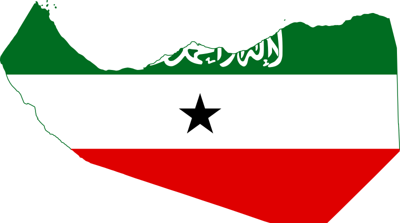
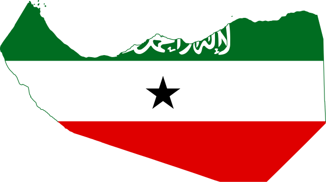
English: Flag-map of Somaliland. |
||
| Date | |||
| Source |
Own work This W3C-unspecified vector image was created with Inkscape . |
||
| Author | Óðinn | ||
| Permission (Reusing this file) |
|
File history
Click on a date/time to view the file as it appeared at that time.
| Date/Time | Thumbnail | Dimensions | User | Comment | |
|---|---|---|---|---|---|
| current | 22:17, 2 May 2021 | | 1,078 × 601 (60 KB) | Siirski (talk | contribs) | fix |
| 23:12, 12 March 2021 |  | 1,074 × 600 (23 KB) | Jacob300 (talk | contribs) | Reverted to version as of 08:33, 11 December 2011 (UTC) | |
| 14:32, 7 May 2017 |  | 1,078 × 601 (59 KB) | Stasyan117 (talk | contribs) | flag fix | |
| 17:13, 30 May 2015 |  | 1,002 × 558 (51 KB) | Stasyan117 (talk | contribs) | fix | |
| 15:39, 3 February 2015 |  | 1,000 × 557 (51 KB) | Stasyan117 (talk | contribs) | More correct map | |
| 14:36, 20 February 2012 |  | 1,072 × 598 (18 KB) | Дмитрий-5-Аверин (talk | contribs) | fix | |
| 08:33, 11 December 2011 |  | 1,074 × 600 (23 KB) | The Cosmonaut (talk | contribs) | == {{int:filedesc}} == {{Information |Description= {{en|1=Flag-map of Somaliland.}} |Source= Own work {{Inkscape}} |Date= 2011-12-11 |Author= Óðinn |Permission={{pd-self}} |other_versions= }} <!--{{ImageUpload|basic}}--> [[Category:M |
You cannot overwrite this file.
File usage on Commons
The following 4 pages use this file:
File usage on other wikis
The following other wikis use this file:
- Usage on ar.wikipedia.org
- Usage on de.wikipedia.org
- Usage on en.wikipedia.org
- Arabsiyo
- Mount Shimbiris
- Naasa Hablood
- Dilla, Awdal
- Dodai
- Lughaya
- Burao Airport
- Godaalo
- Laako
- Aw-Barkhadle
- Guud Caanood
- Baligubadle
- Oodweyne
- Goryasan
- Haylan
- Dhahar
- Salahlay
- Abasa, Awdal
- Buraan
- Gugux
- Yufle
- Gowsaweyne
- Qeedi Haan
- Dilla District
- Borama District
- Zeila District
- El Afweyn District
- Erigavo District
- Dhahar District
- Hingalol District
- Aynaba District
- Taleh District
- Hudun District
- Burao District
- Buhoodle District
- Sheikh District
- Hargeisa District
- Gabiley District
- Salahlay District
- Bohol, Somaliland
- Garadag
- Qoryale
- Megagle
- Shululux
View more global usage of this file.