File:Azerbaijan districts azeri.png
Jump to navigation
Jump to search

Size of this preview: 756 × 600 pixels. Other resolutions: 303 × 240 pixels | 605 × 480 pixels | 968 × 768 pixels | 1,280 × 1,015 pixels | 1,500 × 1,190 pixels.
Original file (1,500 × 1,190 pixels, file size: 119 KB, MIME type: image/png)
Captions
Captions
Add a one-line explanation of what this file represents
Summary
[edit]
| Description |
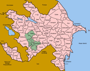
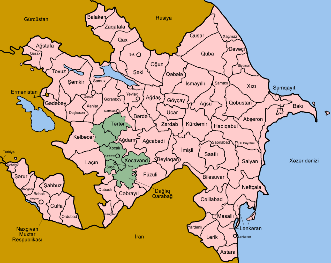
Map of the rayons and other districts of Azerbaijan, named in Azerbaijani, for use for printing or for those who don't want to use the numbered map. Azərbaycan rayonlar Made by User:Golbez. |
| Date | 27 December 2005 (original upload date) |
| Source | No machine-readable source provided. Own work assumed (based on copyright claims). |
| Author | No machine-readable author provided. Golbez assumed (based on copyright claims). |
Licensing
[edit]
I, the copyright holder of this work, hereby publish it under the following licenses:

|
Permission is granted to copy, distribute and/or modify this document under the terms of the GNU Free Documentation License, Version 1.2 or any later version published by the Free Software Foundation; with no Invariant Sections, no Front-Cover Texts, and no Back-Cover Texts. A copy of the license is included in the section entitled GNU Free Documentation License. |
| This file is licensed under the Creative Commons Attribution-Share Alike 3.0 Unported license. | ||
| ||
| This licensing tag was added to this file as part of the GFDL licensing update. |
This file is licensed under the Creative Commons Attribution 2.5 Generic license.
- You are free:
- to share – to copy, distribute and transmit the work
- to remix – to adapt the work
- Under the following conditions:
- attribution – You must give appropriate credit, provide a link to the license, and indicate if changes were made. You may do so in any reasonable manner, but not in any way that suggests the licensor endorses you or your use.
You may select the license of your choice.
File history
Click on a date/time to view the file as it appeared at that time.
| Date/Time | Thumbnail | Dimensions | User | Comment | |
|---|---|---|---|---|---|
| current | 07:02, 28 March 2006 | | 1,500 × 1,190 (119 KB) | Golbez (talk | contribs) | Updated map with Kangarli and better borders for Absheron |
| 00:07, 27 December 2005 |  | 1,500 × 1,190 (136 KB) | Golbez (talk | contribs) | Map of the rayons and other districts of Azerbaijan, named in Azerbaijani, for use for printing or for those who don't want to use the numbered map. Made by User:Golbez. Category:Maps of Azerbaijan |
You cannot overwrite this file.
File usage on Commons
The following 2 pages use this file:
File usage on other wikis
The following other wikis use this file:
- Usage on ba.wikipedia.org
- Usage on ce.wikipedia.org
- Usage on mad.wikipedia.org
- Usage on sq.wikipedia.org
- Usage on su.wikipedia.org
- Azerbaijan
- Urang Azerbaijan
- Baku
- Babagian administratif Azerbaijan
- Rayon Khizi
- Sumqayit
- Rayon Aghjabadi
- Rayon Agdash
- Rayon Barda
- Rayon Beylagan
- Rayon Bilasuvar
- Rayon Goychay
- Rayon Hajigabul
- Rayon Imishli
- Mingachevir
- Rayon Neftchala
- Rayon Saatly
- Rayon Sabirabad
- Rayon Salyan
- Shirvan (kota)
- Rayon Ujar
- Rayon Yevlakh
- Yevlakh
- Rayon Zardab
- Rayon Agsu
- Rayon Gobustan
- Rayon Ismailli
- Rayon Shamakhi
- Rayon Agstafa
- Rayon Dashkasan
- Rayon Gadabay
- Ganja, Azerbaijan
- Rayon Qazakh
- Rayon Goygol
- Rayon Goranboy
- Naftalan
- Rayon Samukh
- Rayon Shamkir
- Rayon Tovuz
- Rayon Quba
- Rayon Qusar
- Rayon Khachmaz
- Rayon Shabran
- Rayon Siazan
- Rayon Qubadli
- Rayon Kalbajar
View more global usage of this file.