File:ESO observatories map.png
Jump to navigation
Jump to search
Size of this preview: 275 × 599 pixels. Other resolutions: 110 × 240 pixels | 325 × 708 pixels.
Original file (325 × 708 pixels, file size: 22 KB, MIME type: image/png)
Captions
Captions
Add a one-line explanation of what this file represents
This image is in the public domain because it contains materials that originally came from the United States Central Intelligence Agency's World Factbook.
|
 |
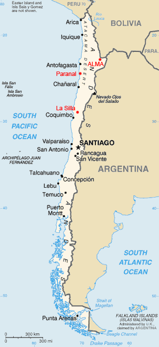
Locations of European Southern Observatories on map.
Based on a CIA World Factbook map.
File history
Click on a date/time to view the file as it appeared at that time.
| Date/Time | Thumbnail | Dimensions | User | Comment | |
|---|---|---|---|---|---|
| current | 14:24, 20 March 2006 | | 325 × 708 (22 KB) | Hautala (talk | contribs) | {{PD-USGov-CIA-WF}} Locations of European Southern Observatories on map. Based on a CIA World Factbook map. |
You cannot overwrite this file.
File usage on Commons
There are no pages that use this file.
File usage on other wikis
The following other wikis use this file:
- Usage on ast.wikipedia.org
- Usage on es.wikipedia.org
- Usage on eu.wikipedia.org
- Usage on fi.wikipedia.org
- Usage on gl.wikipedia.org
- Usage on nl.wikipedia.org
- Usage on pl.wikipedia.org
- Usage on pl.wikinews.org
- Usage on sv.wikipedia.org